A partial list of services, business, and travel information in the Quincy, CA, area. Always verify information yourself before embarking.
Services
In the event of an emergency call 911!
Plumas District Hospital (includes 24-hour Emergency Services)
1065 Bucks Lake Rd
Quincy, CA 95971
+1-530-283-2121
information@pdh.org
Plumas County Sheriff’s Office (Sheriff: Todd Johns)
1400 E Main Street
Quincy, CA 95971
+1-530-283-6375
California Highway Patrol
86 W Main St
Quincy, CA 95971
+1-530-283-1100
American Valley Animal Hospital
77 Alta Ave
Quincy, CA 95971
+1-530-283-4500
Plumas County Visitors Bureau
PO Box 1307
Quincy, CA 95971
+1-530-280-7187
info@plumascounty.org
City of Quincy, California
Plumas County
National Park Service
Business
PLEASE NOTE: The following is not an all-inclusive listing of local businesses … Quincy is a full service community.
Travel
Arriving by air:
San Francisco International Airport (SFO) …239 miles, served by all major airlines
Sacramento International Airport (SMF) …142 miles, served by major airlines
Reno-Tahoe International Airport (RNO) …84 miles, served by major airlines
Gasner Field Airport (GNF, Quincy) …1 mile, private aircraft only, no published instrument procedures. Nearby airports with instrument procedures:
O02 – Nervino Airport (28 nm E)
KSVE – Susanville Municipal Airport (31 nm NE)
KAHC – Amedee Army Airfield (41 nm NE)
KOVE – Oroville Municipal Airport (42 nm SW)
KCIC – Chico Municipal Airport (43 nm W)
Arriving by land:
I-5 from the north
US-395 and CA-70 from the east
I-80 and CA-70 from the west
I-5 and CA-70 from the south
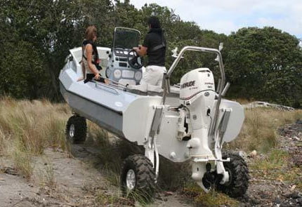
Arriving by water:

